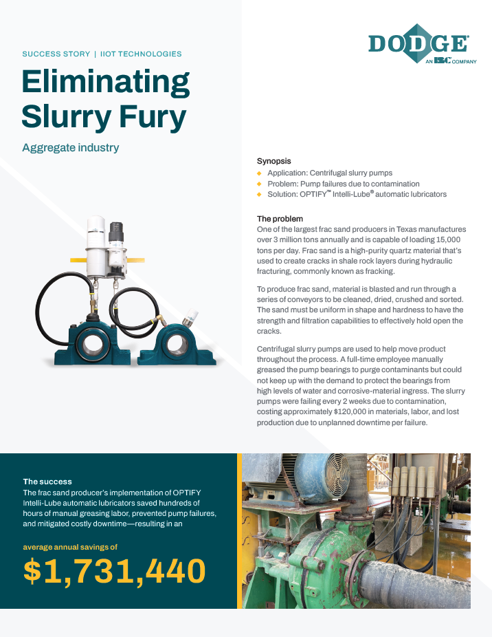
Automatically Collect and Analyze Aggregates Aerial Data
Description
Kespry Cloud makes it easy for Aggregates companies to measure cut and fill volumes, distances, areas, and perimeters, overlay PDFs and drawings on their maps, make annotations for collaboration, view contours, elevation maps, 3D models, inventory reports and more.


![[Webinar] Using Drone Data for Mine Planning](https://s3.us-west-1.amazonaws.com/resource.center/resource_images/8b025f1e8d554049adf383203bb788e75eaa7c9cc033d.jpeg)

![[Webinar] How Drone Data is Changing the Aggregates Industry](https://s3.us-west-1.amazonaws.com/resource.center/resource_images/0534d04e00a3be1e823ec7a6867893775eaa7c9b6be61.jpg)