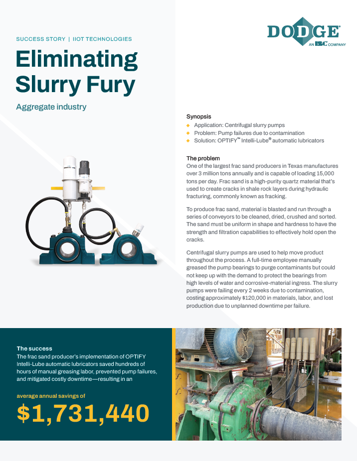
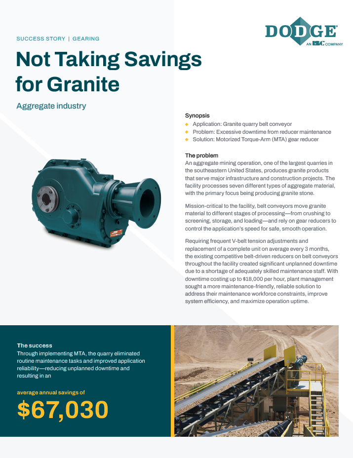
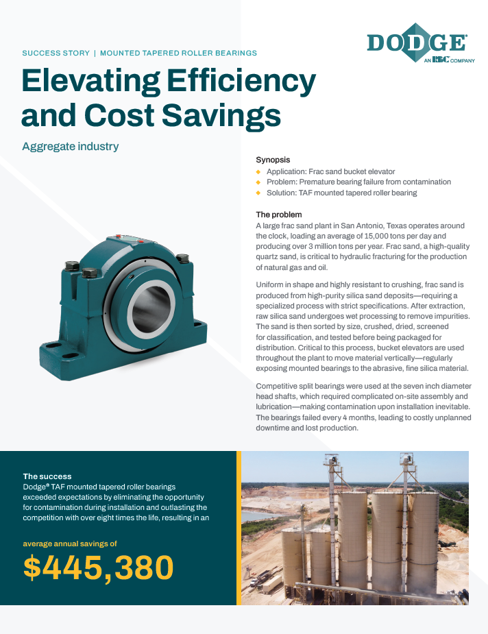
AirGon's Bring Your Own Drone Mapping Kit
Description
Since its inception, AirGon (a wholly owned subsidiary of the GeoCue Group) has focused on high accuracy small unmanned aerial systems (sUAS or drone) for surface mine, industrial and construction site mapping. As our customers have requested more and more services from us, it became evident that their requirements are not always mapping solutions where high network accuracy is required but where relative accuracy can suffice. The prime examples are volumetric analysis and orthophotos for planimetric mapping. These products do not require high network (absolute) vertical accuracy so long as a known scale can be achieved.
Whether you are the owner/operator of a site or a service provider to the site, our BYOD (Bring Your Own Drone) Mapping Kit is intended for just these applications. Rather than acquiring all the necessary components in a piecemeal fashion resulting in a steep learning curve, our BYOD Mapping Kit includes all of the surround components necessary to perform local (relative) accuracy mapping with a user supplied low cost drone such as the Phantom or Inspire.