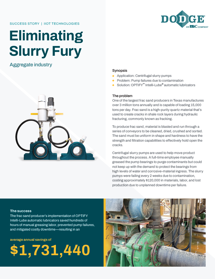
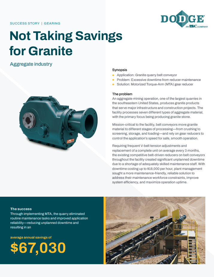
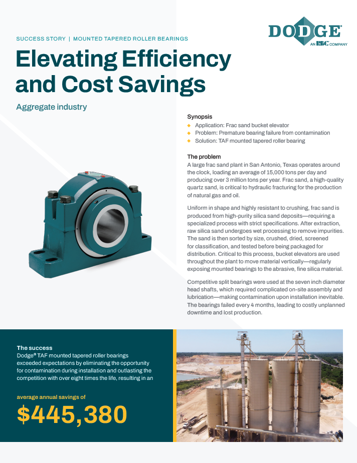
Low Cost Internalization of Drone Mapping
Description
Drone Mapping is the direction that small industrial site and construction mapping is headed. It has significant advantages over all ground based models and generally is less expensive than traditional manned aircraft mapping approaches. Best of all, drone mapping, with the new FAA regulations passed in August of 2016, is a technology that you can fully internalize, resulting in both increased responsiveness and reduced cost when compared to contracted services.
This paper will provide you with an overview of the different models that can be used for drone mapping with sufficient detail for you to make an informed choice. You will discover that, with all factors included, acquiring your own technology (hardware and software) may be the most economic long term approach to modernizing your mapping operations.